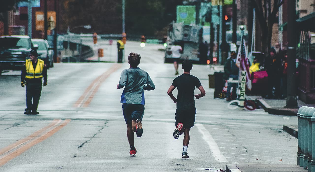
“Where’s there to run?” – is a question my travel companions are familiar with. I understand that at times there is an urge to nail such an enthusiastic runner who is preoccupied with a single question when looking for a place to sleep overnight.
Running in a new place is a great way to get to know it quickly and get a feel for its atmosphere. The only question is how to choose a good route so as not to end up in an industrial zone, a dysfunctional area and not to get lost on a multi-story road junction (I have a lot of experience). I’ll share my ways of finding places to run on trips.
Google Earth and Street View.
The old and tried but very torturous way – go to Google Earth and look for suitable places “by eye”. A handy optional feature of Google Street View allows you to see panoramic views of streets in many cities around the world.
Less: it can take a long time to dig in this way (although it is fascinating), and you will never find a good route. In addition, you need a good Internet connection.
Endomondo and other trackers
Another option is to see where others run. Among the popular sports trackers with routes: Endomondo, Run Keeper, MapMyRun, Runtastic.
The main disadvantage of finding routes in such trackers is that they are actually a big dump. Someone is running near a house in a dreary bedroom community, someone is running along a highway or in another inappropriate place. Without knowing the city and its neighborhoods, it’s hard to determine which of these trails are really worthwhile, and it takes too long to browse each one with Street View.
Strava Global Heatmap
An idea implemented by running and biking tracking service Strava proves that all brilliant things are simple. They took their database of downloaded user itineraries (and there are quite a few around the world) and overlaid it on the map.
The result is very clear – the most popular routes, depending on the selected design, are highlighted in bright bold lines or red.
In the settings you can choose the type of routes displayed – cycling, running or both. The scale increases to a detailed scale.
Another nice feature is the built-in Google Street View. Find the route of interest, grab the yellow man in the upper right corner and see how it looks on the ground.
Tourism Office
In small European towns, especially those located in the mountains and surrounded by beautiful nature, it is worth checking out the tourist office. There are usually good maps and descriptions of the surrounding trails and cycling routes.
Running Tours
Running tours are a relatively new trend that started about 10 years ago. Now running tours are held in most major cities in Europe. You can order an individual tour or take part in a group tour, combining business with pleasure – sightseeing with a gentle jog.